
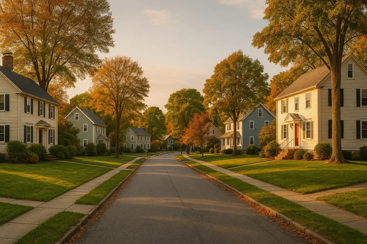
Upton, MA Neighborhoods: How the Parts of Town Actually Differ
This article does not rank neighborhoods, and it will not tell you who lives in any part of Upton. Ranking the parts of a town against each other, or describing them by the people in them, is the format most likely to steer a reader toward or away from a place for reasons that have nothing to do with the housing — and for a licensed agent that is not a style preference, it is the law.
What this article does instead is geography. Upton's different areas genuinely do differ, in ways that change what you are buying and what it will cost you to own: lot size, road type, the era the housing was built, whether you are on municipal service or your own well and septic, and how far you are from the town center and the highway. Those are the differences worth knowing, and all of them are checkable.
First, a correction: Rockdale is in Northbridge
An earlier version of this article presented Rockdale as a neighborhood of Upton and assigned it an Upton neighborhood-level home value. Both halves of that were wrong.
Rockdale is a village of Northbridge, one of that town's principal villages alongside Whitinsville, Linwood, Riverdale and Northbridge Center. It is a Blackstone Valley mill village: a mill privilege developed from 1814 at a junction of the Providence Road, the Central Turnpike and the Blackstone Canal, which became a substantial industrial center after the Whitin family acquired it in the 1860s. It is a real and interesting place. It is in a different town, with a different tax rate, a different school district, different bylaws and a different assessor.
If Rockdale is what drew you here, you want the Northbridge community page, and the village geography of Northbridge — Whitinsville, Rockdale and the rest — is covered in the piece on Northbridge and its mill villages. The invented neighborhood price has been removed and not replaced.
The five variables that actually differ across Upton
- Lot size, and usable lot size. These are different numbers. Deeded acreage tells you what you pay taxes on; wetland and buffer constraints tell you what you can use. The Conservation Commission and MassGIS are the check.
- Road type. Accepted public way or private way. On a private way, plowing, drainage, paving and repair are the abutters' problem, and the town does not maintain a road it has not accepted.
- Housing era. Upton was incorporated in 1735 and built in every period since. The era sets your inspection list: knob-and-tube and unlined flues at one end, newer systems and different obligations at the other.
- Water and wastewater. The DPW's Water and Sewer Division serves part of the town. Much of Upton is on private well and private septic, with a Title 5 inspection required at transfer.
- Distance. To the town center, and to I-495. Upton has no commuter rail station, so distance to the highway is what shapes a commute.
Upton Center
The town center is built around Central Square, the site of the town green where the first meetinghouse stood. Upton Town Hall, built in 1884, is the dominant civic building. In January 2015 the Upton Center Historic District was listed on the National Register of Historic Places — roughly 73 acres taking in Main, North Main, Milford, Grove, Church and Warren Streets, plus a residential area south of the square.
In housing terms the center is the oldest and densest part of town: smaller village lots, the highest concentration of nineteenth-century and earlier buildings, the best chance of municipal water and sewer service, the most sidewalk, and the shortest walk to town buildings. It is also where the antique-house inspection list matters most.
One distinction to get right before you plan any project: National Register listing is honorific and does not by itself restrict what you may do to your house. A local historic district, adopted by town meeting and administered by a commission, does — it can require review of exterior changes visible from a public way. Find out which, if either, applies to a specific address by asking the town. Do not assume from the National Register listing alone.
West Upton
West Upton is the town's other historic village center. The state's own survey of the town records that the middle of the nineteenth century brought major factory expansion at both Upton Center and West Upton, which is why there are two compact older cores here rather than one.
What that means for a buyer is a second pocket of village-scale lots and factory-era housing, with the density falling off quickly as you move outward into larger parcels. If you want the older housing stock without the town center itself, this is the other place to look — and the same era-specific questions apply.
The outer roads
Beyond the two village centers, Upton is rural. The pattern across the outer parts of town is consistent enough to describe without naming streets:
- Larger parcels, because septic design requires land.
- A mix of scattered pre-1850 farmhouses, mid-century capes and ranches, and later subdivisions — sometimes all within a mile of each other.
- Private well and private septic as the norm rather than the exception.
- More private ways, and longer driveways, which is a winter cost every year.
- Internet and cell service that is genuinely address-specific. Check the exact address with the provider and check your phone while standing in the house.
Note what is not in that list: any claim that one outer road is better than another. They differ by the five variables above, and the way to compare two of them is to pull both assessor cards.
Properties near Upton State Forest
Upton State Forest covers roughly 2,800 acres of state-owned land, primarily in Upton with sections reaching into Hopkinton and Westborough, and it contains the last remaining Civilian Conservation Corps camp in Massachusetts. Abutting or sitting near it is a real attribute of a property.
Two cautions. First, confirm what is actually protected rather than merely undeveloped — the Conservation Commission and MassGIS will tell you, and only one of those two conditions is durable. Second, proximity to protected land is usually also proximity to fewer services and a longer drive to everything, which is a trade, not a free upgrade.
How to compare two Upton addresses properly
For each address, get: the Assessors' property record card; the Building Department's permit history; the Board of Health's septic file including the permitted bedroom count, or the well records; the road's status from the Town Clerk or DPW; the wetland picture from the Conservation Commission; and the deed and any easements from the Worcester District Registry of Deeds.
Then compare the two on those documents rather than on how the streets felt when you drove them. The order to work through it is in how to evaluate a house here before you make an offer, and how to turn that into a price using closed sales is in reading the Upton market yourself.
Common questions
What does it cost to live in one part of Upton versus another? The tax rate is the same across the town; the assessment is not. Pull the Assessors' record for specific properties rather than comparing areas, and use the Massachusetts Division of Local Services municipal databank if you want to compare Upton against other towns. This article quotes no price figures, because the ones it used to quote had no dataset behind them.
How is the commute from different parts of town? It is a driving commute from all of them — Upton has no MBTA commuter rail station. The variable is distance to I-495. Drive the route you would actually drive, on a weekday, at the hour you would leave, before you decide.
Do the different parts of town have different schools? No. The whole town is in one district. Upton and Mendon share the Mendon-Upton Regional School District: Memorial Elementary in Upton and Henry P. Clough Elementary in Mendon (both through grade 4), then Miscoe Hill (5–8) and Nipmuc Regional High School (9–12), both of which serve the two towns together. Blackstone Valley Regional Vocational Technical High School is located in Upton and admits by separate application. Confirm current placement with the district office and pull performance data from the Massachusetts DESE profiles.
How do I choose an area? By the five variables, applied to specific properties. Decide how much land you want to maintain, whether you want to own your water and wastewater, how old a house you want to look after, and how far from the highway you can live. Those answers narrow the town far more usefully than any ranking.
What to do next
Drive the town center, West Upton and two or three outer roads in the same afternoon so the differences are obvious. Then pick specific addresses and pull the documents. The Upton community page has the town-level summary, and if you want help comparing two properties on their actual attributes rather than their street names, talk it through with Tim.
Before you rely on anything here
Towns change their bylaws, districts change their enrollment policy, and the market changes faster than any article. Confirm current details with the town department or district office that owns them before you act on them. Nothing here is legal, tax or financial advice.
Tim Harvey Real Estate is committed to the letter and the spirit of U.S. policy for the achievement of equal housing opportunity throughout the nation. We encourage and support an affirmative advertising and marketing program in which there are no barriers to obtaining housing because of race, color, religion, sex, handicap, familial status, national origin, sexual orientation, gender identity, age, ancestry, marital status, veteran status, genetic information, or source of income.
Send Tim a message
Tell him what you're trying to work out. He answers these himself.